DOUGLAS FIELD relishes the hard-boiled language, satire and humour of the third and last of the Harlem trilogy

Imaginary Cities, British Library, London
A groundbreaking exhibition shows how perceptions of futuristic urban environments are being transformed in the digital age
STEPHANIE BROWN draws attention to the hidden labour of the female embroiderers, and how a 19th century replica made no such error
MIK SABIERS revels in a band that ploughs an idiosyncratic furrow of expletive laden, guitar-driven alt rock
ANDY HEDGECOCK, MARIA DUARTE and ANGUS REID review Synthetic Sincerity, Our Hero, Balthazar, Heartstopper Forever, and A Year In London
The bard invites readers to a gig, raps for Clacton, and lays out the Burnham-Hurzeler conundrum
RON JACOBS recommends an important book that enhances the oppositional theories put forth by Fanon and, in doing so, remakes psychology itself


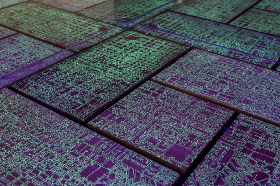
ALGORITHMS have existed since the ancient Greeks and they are increasingly becoming a part of everyday life in the digital age.
We’re not just seeing their practical use in the realm of science, computing and mathematics but also in the arts – particularly in electronic music – and now, as the British Library’s resident artist Michael Takeo Magruder skilfully demonstrates, even in art installations.
Images and metadata from 18th and 19th-century maps of London, Paris, New York and Chicago have been used for the four works on display and, as Magruder explains to me on a guided tour of the free exhibition, the painstaking operation originally involved a bank of one million images of historic urban maps in the British Library’s online digital archive.

Similar stories
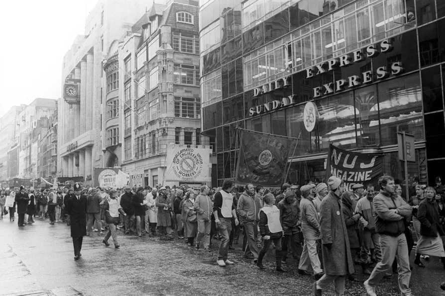
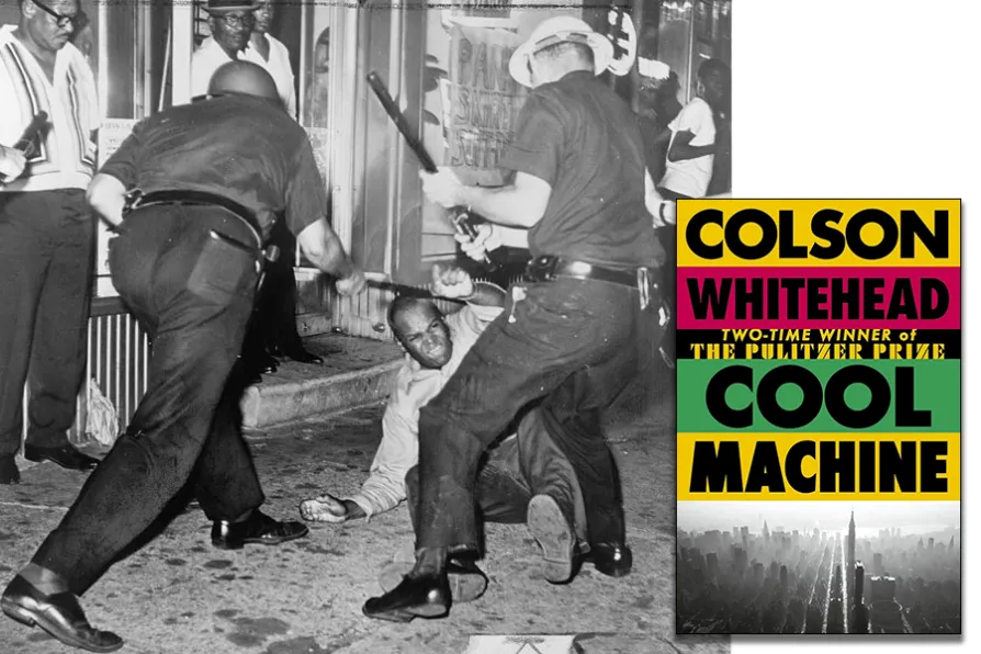
The newly catalogued News International Dispute Archive ensures the history of the Wapping dispute – and the solidarity it inspired – is preserved, accessible and alive for future generations, says MATT DUNNE

SCOTT ALSWORTH searches for something – anything – worth recommending from the year’s releases
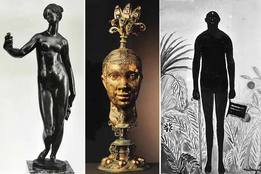
KEVIN DONNELLY accepts the invitation to think speculatively in contemplation of representations of people of African descent in our cultural heritage

From hunting rare pamphlets at book sales to online panels and courses on trade unionism and class politics, the MML continues connecting archive treasures with the movements fighting for a better world, writes director MEIRIAN JUMP